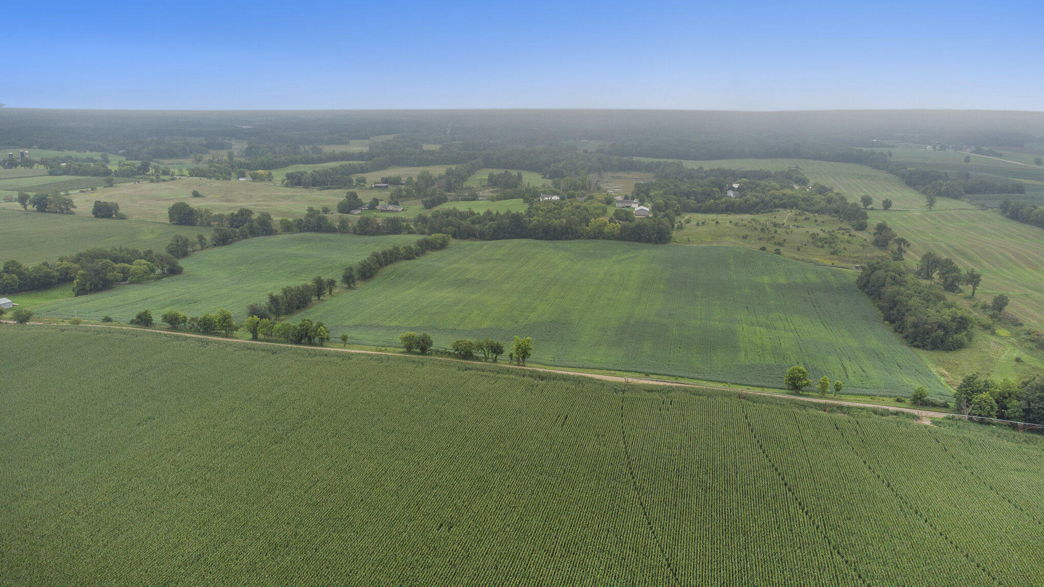
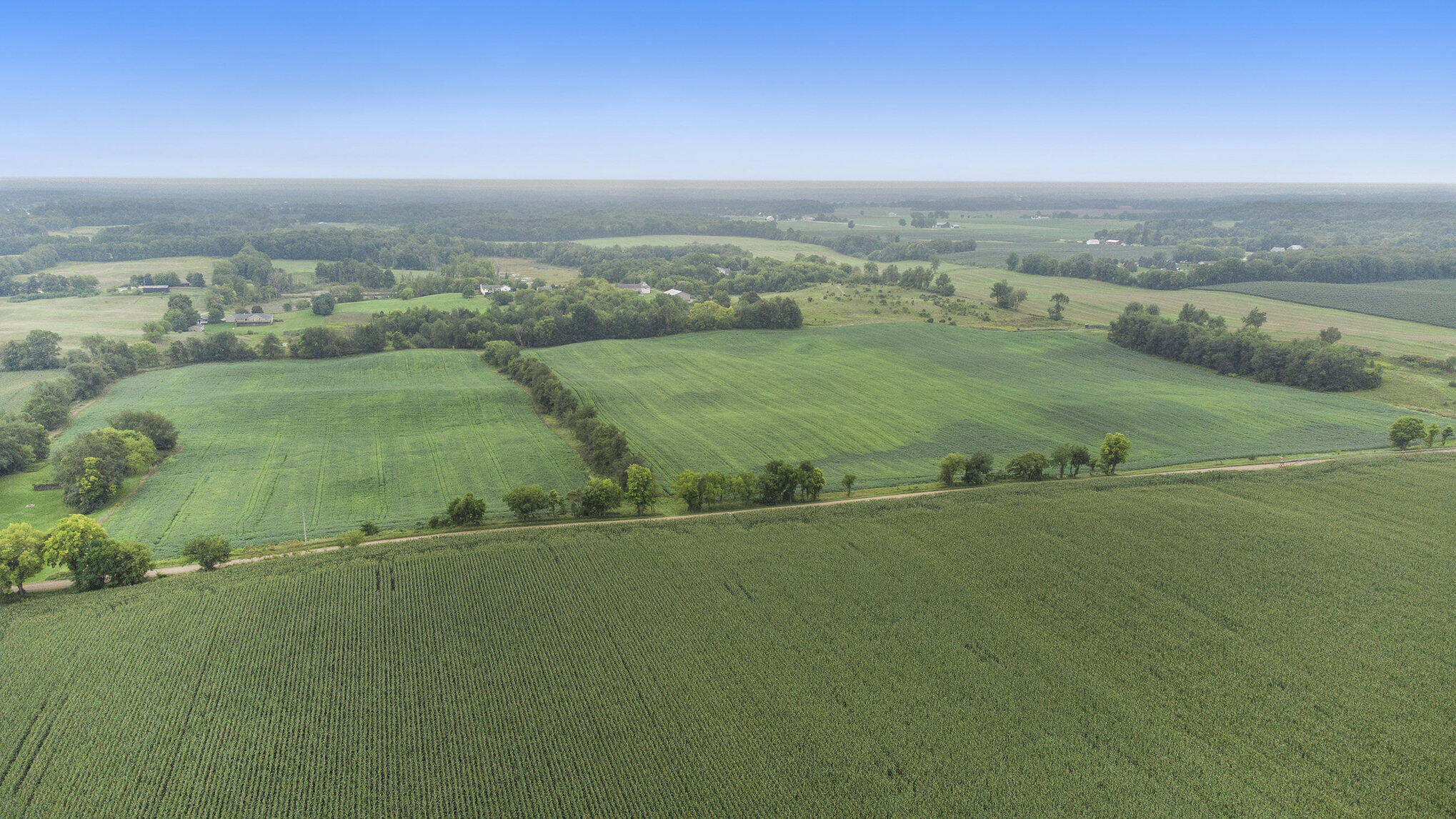
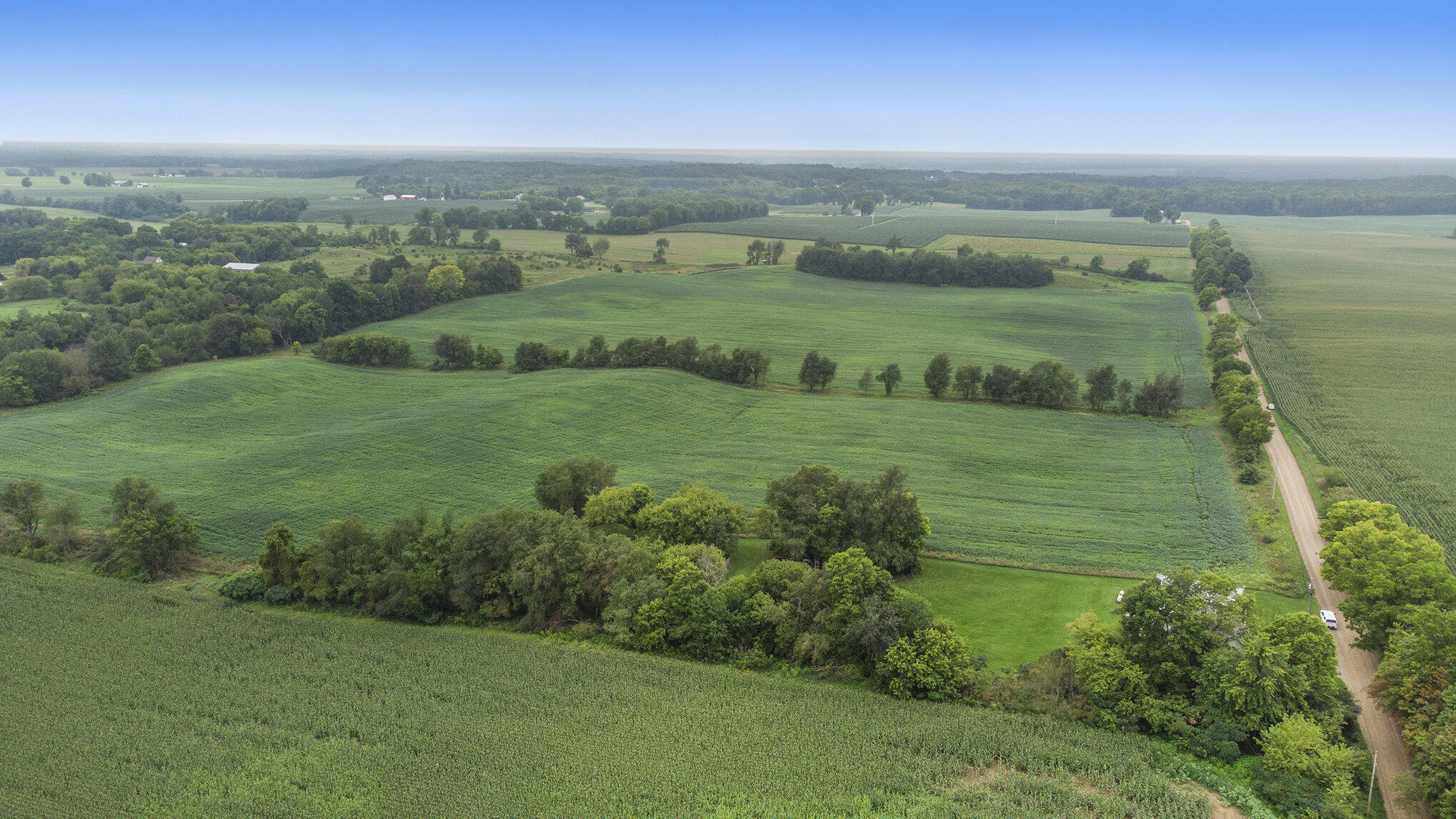
Aerial view of green crop fields divided by tree lines, with scattered farm buildings and a rural road.
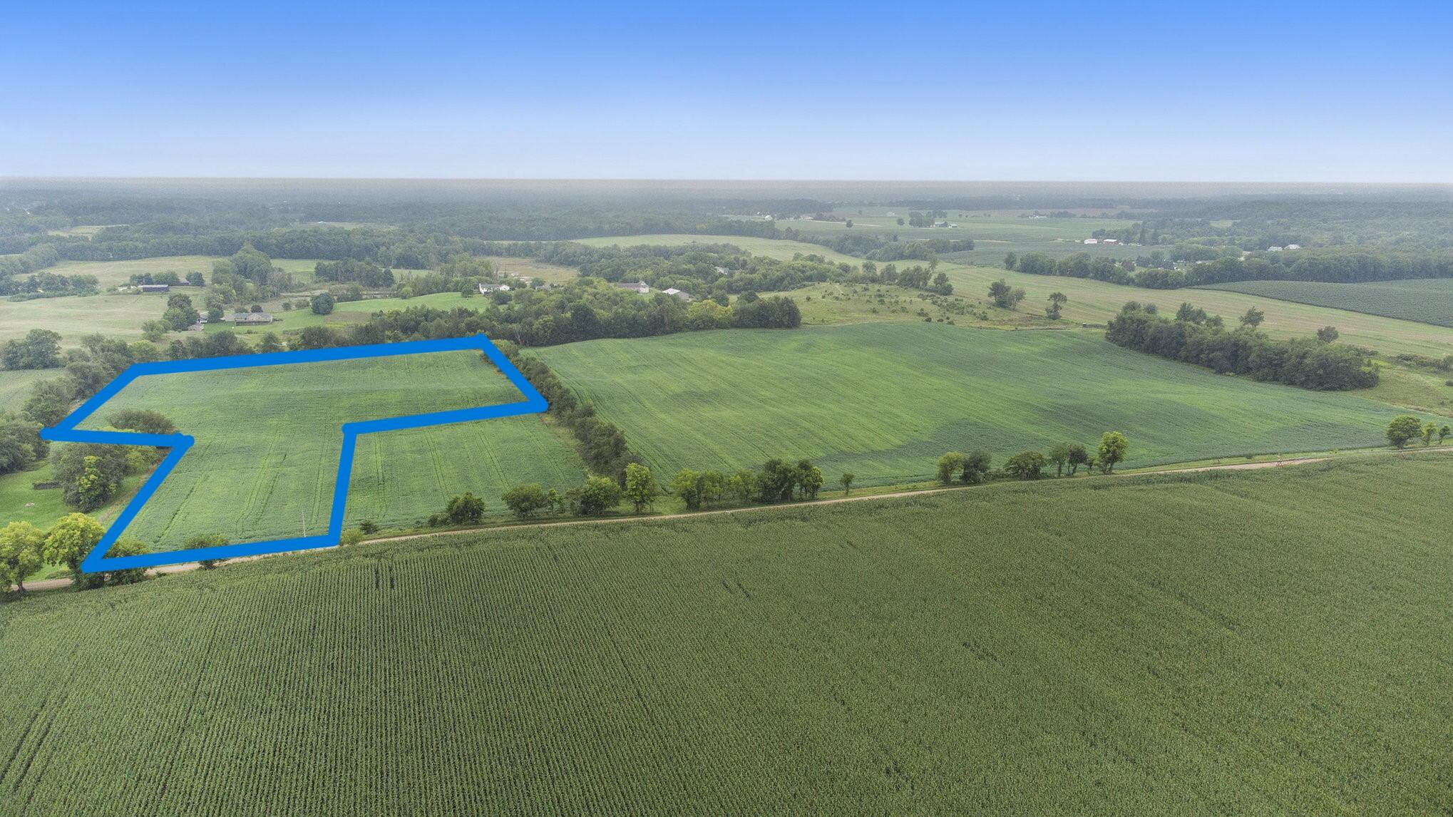
Aerial view of a rural parcel outlined in blue amid green agricultural fields.
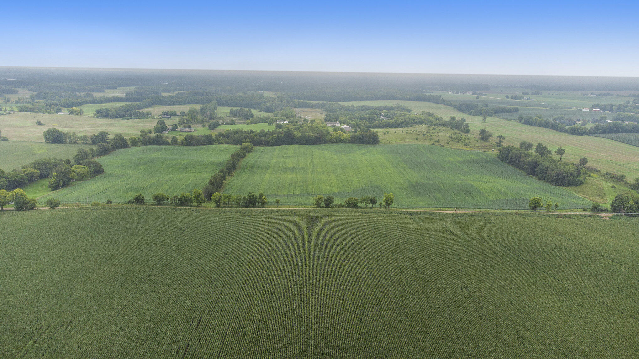
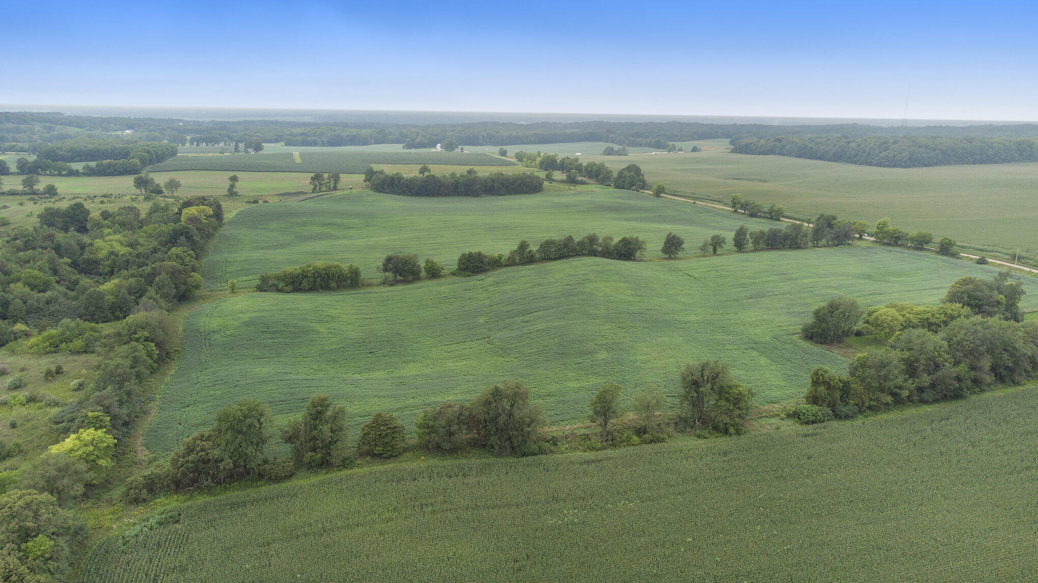
Aerial view of green crop fields and scattered farm buildings across rolling farmland.
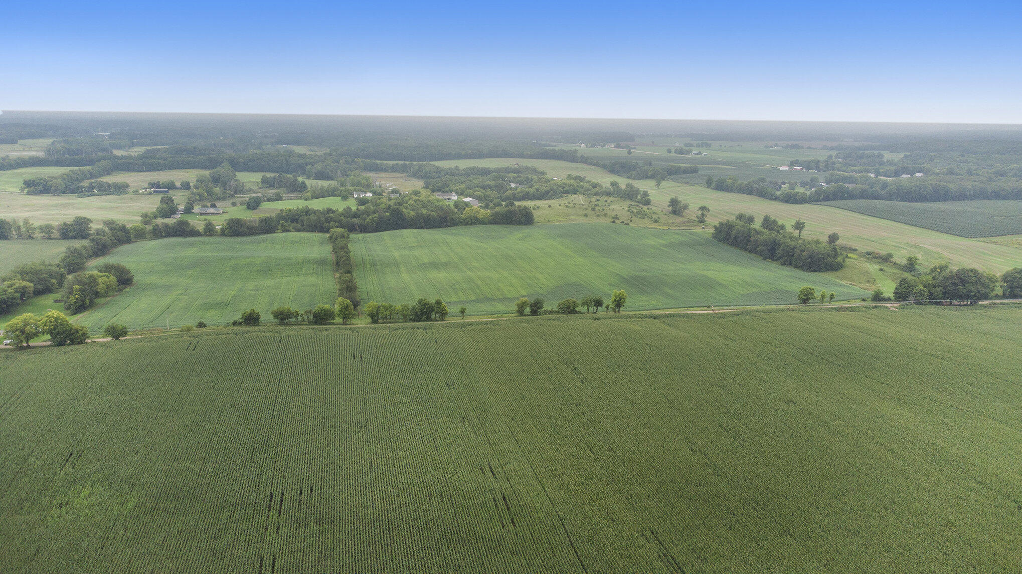
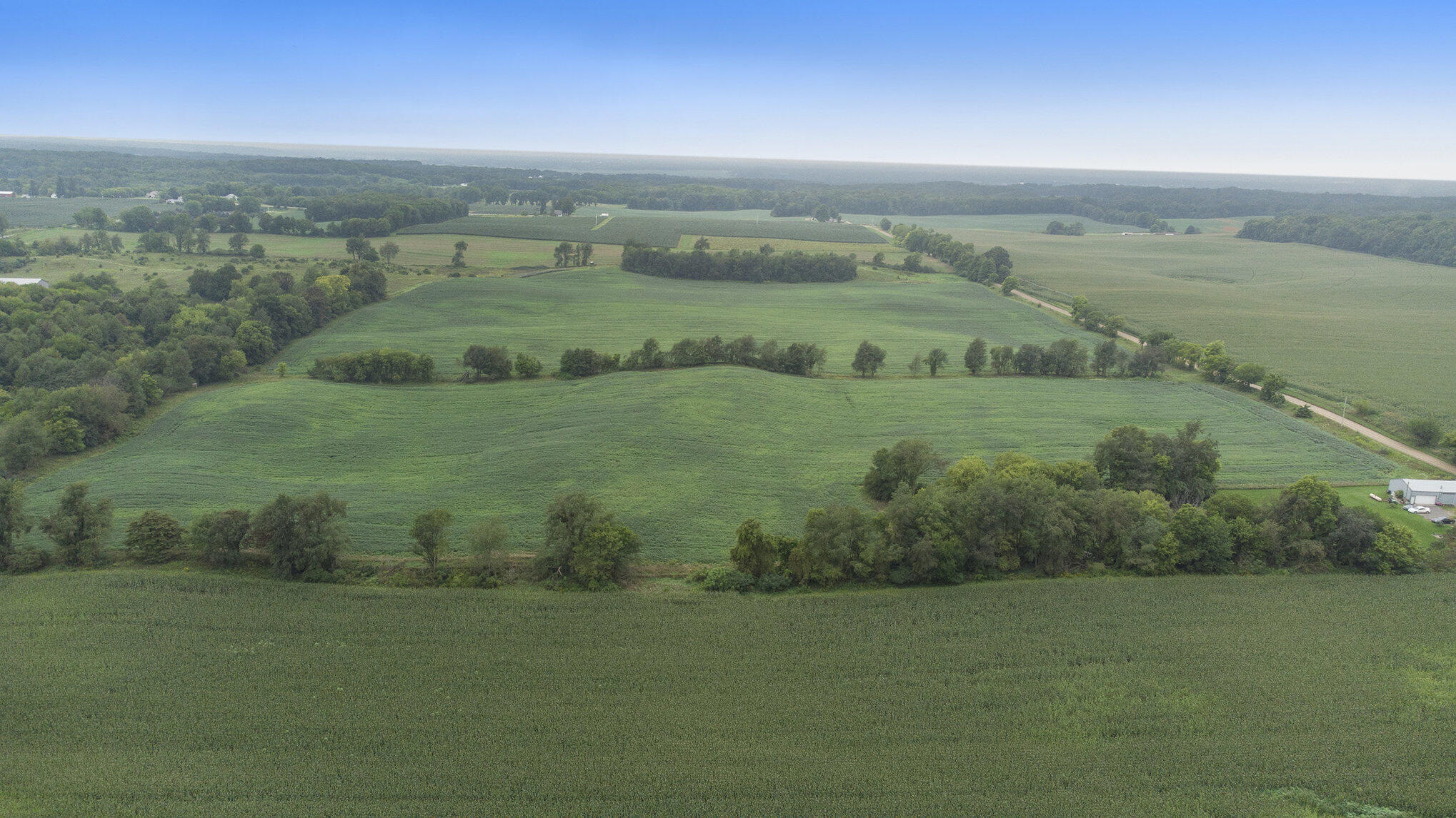
Aerial view of green farmland with crop rows, tree lines, scattered buildings, and a road.
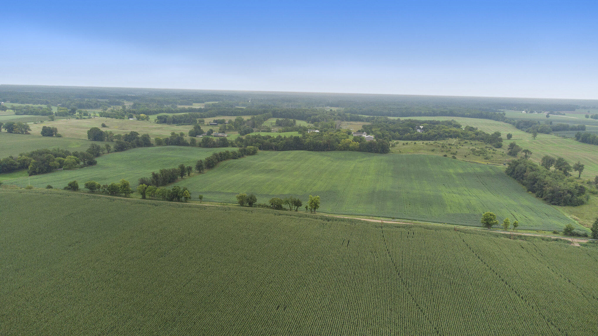
Aerial view of cultivated farmland with tree-lined field boundaries and scattered farm buildings.
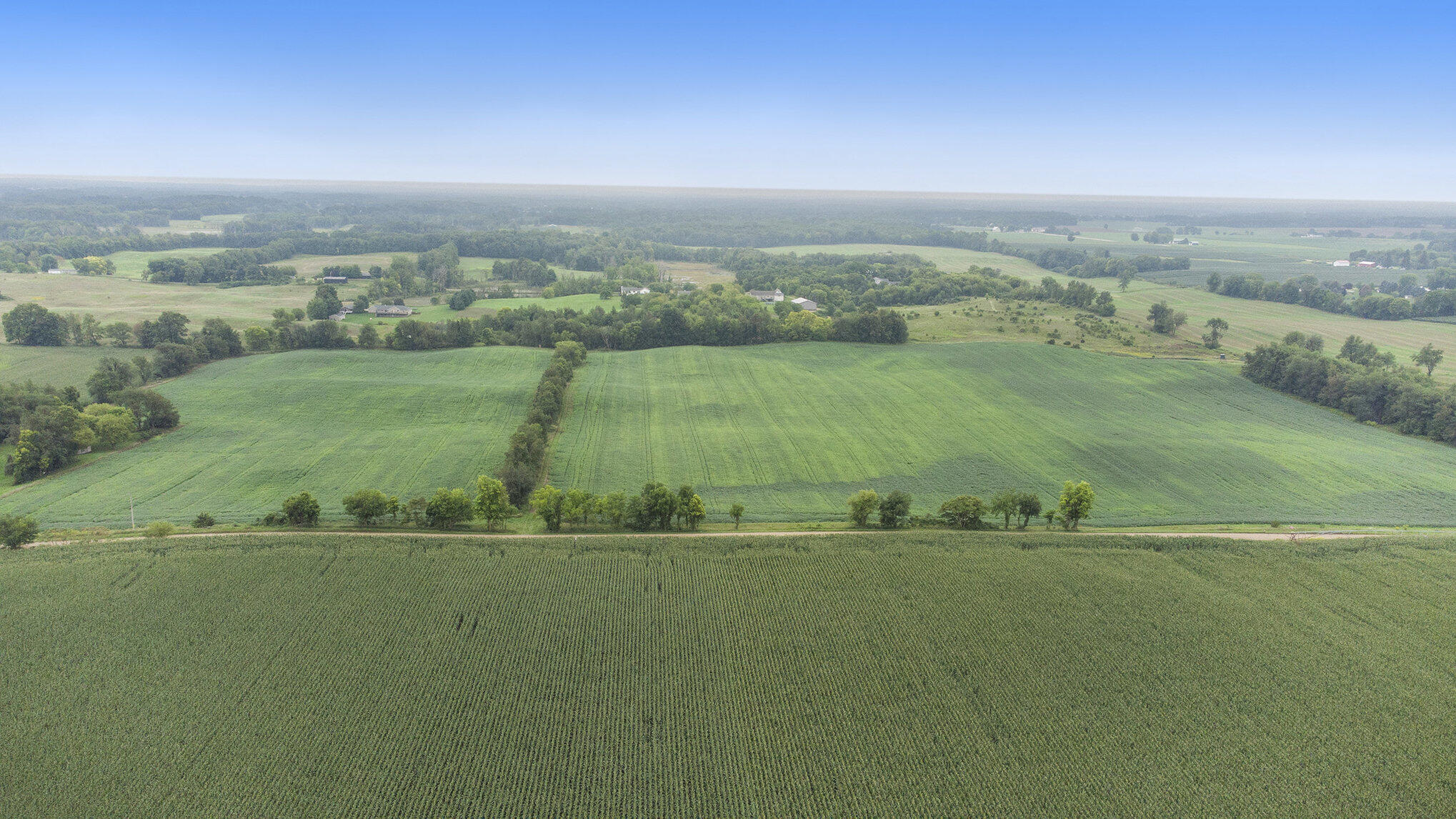
Aerial view of green crop fields, tree lines, and distant farm buildings.
Aerial view of cultivated fields bordered by trees, with scattered rural buildings in the distance.
Aerial view of expansive green farmland bordered by woods, with a rural road and scattered farm buildings.
Aerial farmland with broad green fields, tree lines, and a dirt road at right.
Aerial view of broad green farm fields bordered by trees and a rural road.
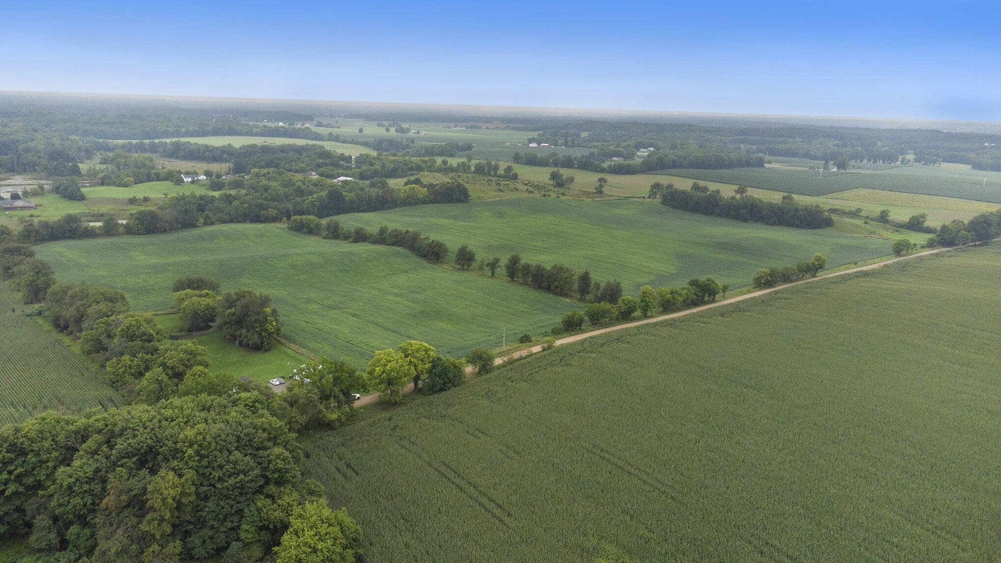
Aerial view of expansive green fields bordered by trees, with a country road crossing the landscape.
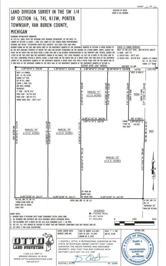
Land division survey plat showing Parcel D, approximately 14.21 acres, with adjoining parcels and boundary measurements.
SEE ALL PHOTOS
Aerial view of green crop fields divided by tree lines, with scattered farm buildings and a rural road.
Aerial view of a rural parcel outlined in blue amid green agricultural fields.
Aerial view of green crop fields and scattered farm buildings across rolling farmland.
Aerial view of green farmland with crop rows, tree lines, scattered buildings, and a road.
Aerial view of cultivated farmland with tree-lined field boundaries and scattered farm buildings.
Aerial view of green crop fields, tree lines, and distant farm buildings.
Aerial view of cultivated fields bordered by trees, with scattered rural buildings in the distance.
Aerial view of expansive green farmland bordered by woods, with a rural road and scattered farm buildings.
Aerial farmland with broad green fields, tree lines, and a dirt road at right.
Aerial view of broad green farm fields bordered by trees and a rural road.
Aerial view of expansive green fields bordered by trees, with a country road crossing the landscape.
Land division survey plat showing Parcel D, approximately 14.21 acres, with adjoining parcels and boundary measurements.
Courtesy of Blaine R Allen, Five Star Real Estate
Sold

Parcel D 82nd Avenue

Parcel D 82nd Avenue, Lawton, MI 49065

$135,000
Discover the perfect canvas for your dream home on this picturesque 14.21-acre parcel in Lawton, MI. Currently utilized for agriculture, the land boasts rolling hills, offering a serene and private setting. Ideal for a custom-built residence, the property features prime building sites with breathtaking views. Embrace the tranquility of rural living while enjoying the convenience of nearby amenities. Whether you're seeking a peaceful retreat or a place to cultivate your vision, this expansive parcel presents an opportunity to create a one-of-a-kind homestead. Don't miss out on the chance to make your dream lifestyle a reality.

14.21 Acres lot

Blaine Allen

Blaine Allen

Features & Amenities

Area & Lot

  • Status Sold
  • Date Sold May 31, 2024
  • Lot Area14.21 Acres
  • MLS® ID23143810
  • TypeLand
  • School DistrictLawton

Exterior

  • utilitiesElectricity Available, None
  • lot featuresRolling Hills, Buildable

Financial

  • Sales Price$135,000

Your Real Estate Partner

Get assistance in determining current property value, crafting a competitive offer, writing and negotiating a contract, and much more. Contact me today.

Follow Me on Instagram